NTT-DRM
East Nusa Tenggara Disaster Risk Mapping (NTT-DRM) (December 2010 - September 2011


Category : Disaster Risk Mapping
Periods : December 2011 - September 2011
Location : East Nusa Tenggara Province
Service Provider : SCDRR-UNDP
Project Value :
Funding : UNDP - Safer Communities thru Disaster Risk Reduction (SCDRR)
Clients : BPPD NTT, Provincial Government of East Nusa Tenggara (NTT)
Consortium Partners :Swisscontact as lead agency
Staff Provided :2 International 3 National
Description of Project
The Province of East Nusa Tenggara is located in the Indian Ocean in the south of Indonesia. The Province measures 247’350 km2. The lead sectors of the economy are Agriculture (38% of PDRB), Trade (17% of PDRB) and Services (24% of PDRB). The sector Agriculture employs over 70% of the workforce. The population is about 4.5 million people. Due to its location on ‘ring of fire’ and its rugged terrain, the area is prone to natural disasters. An estimated 70% live in disaster risk areas threatened by floods, landslides, earthquakes, tsunami and drought. Based on the Spatial Management Law 26/2007, National, Provincial and Local Spatial Plans shall be reviewed taking into account the natural disaster risks. For this purpose the Provincial Government of East Nusa Tenggara needs to identify the relevant types of natural disasters and the disaster-prone areas, and map out for each type of disaster the hazards, the vulnerability and the resilience, or the capacity to cope with natural disaster events. The objective of this activity is to support the Government of East Nusa Tenggara Province in formulation of a disaster risk map. This activity will benefit the East Nusa Tenggara Provincial Government in providing a reference for the formulation of the Spatial Plan, Medium Term Development Plan, Government Work Plan, Disaster Management Plan and the Disaster Risk Reduction Action Program (RAD-PRB) at Provincial as well as Municipality / District levels.
Service Provided:
The UNDP-SCDRR mandated Swisscontact to provide Technical Assistance to the Provincial Government in East Nusa Tenggara in setting up a GIS database, in preparing the disaster risk maps, and in reviewing the existing Spatial Plans:
- First, the Provincial Government of East Nusa Tenggara issued a decree to establish a Multi-Stakeholder Task Force as the ‘players’, supported by the Triple-A Team of Swisscontact in the role of ‘coach’.
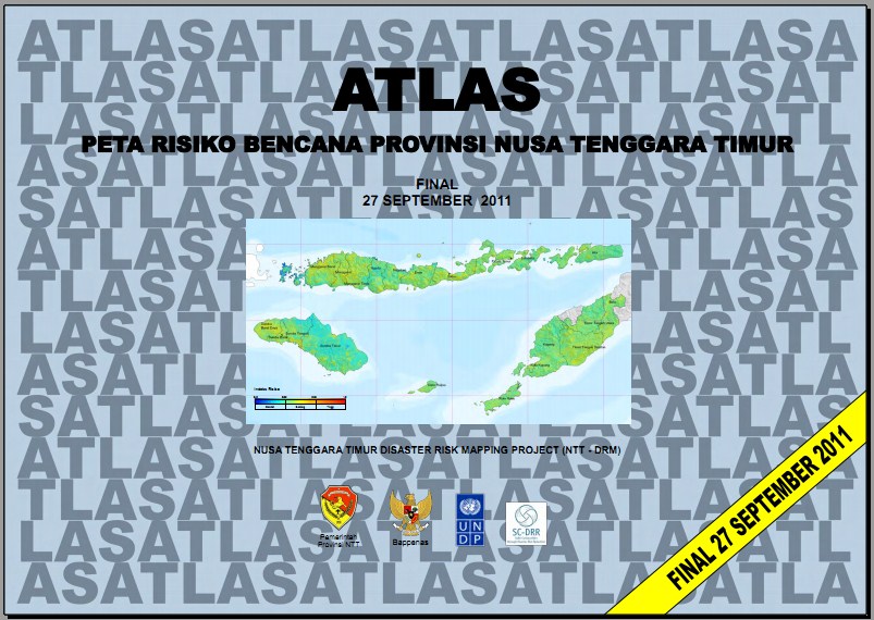
- Based on readily available data from multiple sources a comprehensive Atlas was produced.
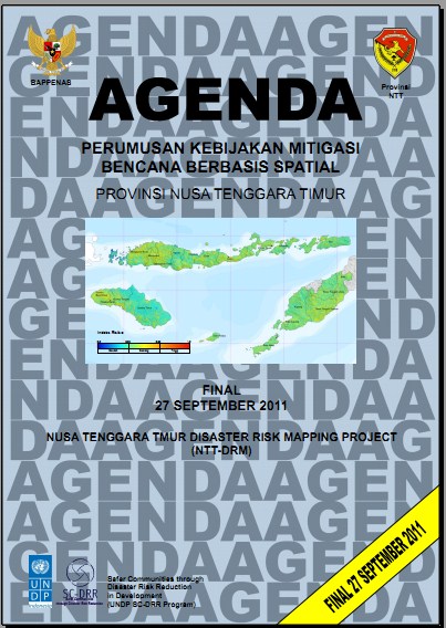
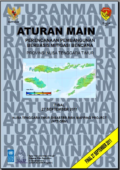
- Based on the Atlas, recommendations for spatial development are made in the form of an Agenda that spells out the specific actions to be taken, when, and by whom. Aturan-main (=Rules-of-the-game) are prepared to provide clear mechanisms for implementation of the Agenda, including enforcement, controls and sanctions related to the Disaster Mitigation-based Spatial Plan.
Products :
- ATLAS Peta Risiko Bencana Provinsi NTT
- Agenda Perumusan Kebijakan Mitigasi Bencana Berbasis Spasial Provinsi NTT
- Aturan Main Perencanaan Pembangunan Berbasis Mitigasi Bencana Provinsi NTT
If you would like to know more, please contact us or send email to aaa@triple-a-team.com
